Quick Overview: Punta Cana sits on the extreme eastern edge of the Dominican Republic, marking the exact geographic line where the Caribbean Sea crashes into the Atlantic Ocean. Anchoring the province of La Altagracia, it is a massive 32-mile stretch of uninterrupted white-sand coastline, luxury mega-resorts, and dense tropical jungle. Built specifically for international tourism, the region features its own global airport and delivers year-round summer weather for millions of Caribbean vacationers.
People ask us "where is punta cana located" almost daily. They book flights assuming it is a tiny, walkable beach town. But here is the reality. Punta Cana isn't a single neighborhood, and you can't just walk from one end to the other. It is a massive, sprawling coastal territory. If you are planning a 2027 getaway, you absolutely must understand the physical layout before booking a hotel.
Pick the wrong side of the coast, and you might end up staring at rough, dark waves when you actually wanted a calm, glass-like ocean. Let's break down the physical geography, the distinct regional neighborhoods, and the exact travel logistics you need to navigate the eastern shore like a seasoned local.
Pull up a digital map. Zoom out until you see the Greater Antilles archipelago. See Florida? Look southeast. Find Puerto Rico? Look straight west. Right in the middle sits the undisputed heavyweight champion of Caribbean tourism.
For the nautical crowd mapping out marine routes, the exact geographic coordinates drop in at 18.5601° N latitude and 68.3725° W longitude.
Why does that specific math matter for your vacation? Because it places the region deep into the tropical zone. You are anchored well below the Tropic of Cancer. That means the destination completely dodges the freak winter cold fronts that occasionally push down from the States into the Bahamas. You get pure, unadulterated summer heat, twelve months a year.
It belongs to the Dominican Republic. The nation takes up the eastern two-thirds of Hispaniola, a massive, mountainous island shared with Haiti to the west.
If you want to talk local government, this entire resort corridor operates inside La Altagracia province. This specific province basically bankrolls the country's massive tourism economy. Step off the tarmac, and you are officially on Dominican soil. The local currency is the Peso, though bartenders and cab drivers happily take US dollars. Spanish is the native tongue. You will spot the iconic Dominican Republic flag flying proudly above marinas, public buildings, and local schools. If you ever need to verify official travel advisories, safety protocols, or national tourism data, a quick check with the Dominican Republic Ministry of Tourism gives you the ground truth.
Ever wonder where the name actually came from? Translated locally, it means "Tip of the White Cane Palms."
"Punta" means point. It references the literal geographic tip of the island's eastern landmass. "Cana" highlights a very specific species of palm tree (Sabal causiarum) native to the area. Decades ago, long before developers poured the first concrete foundation for an all-inclusive mega-resort, this coastline was entirely wild. It was nothing but dense, impenetrable jungle and thousands of white cane palms getting battered by the ocean breeze.

Location dictates everything. And the craziest geographic quirk about this specific region is its dual-ocean setup. The eastern edge of the country serves as the literal dividing line between two totally different bodies of water.
Jutting out into the ocean means the coast constantly catches the eastern trade winds. That breeze is a lifesaver. It cuts right through the brutal humidity during the peak summer months.
But the real magic happens in the water. The geographical placement locks in incredibly stable, warm sea temperatures. Escaping a brutal northern snowstorm? You will step right into saltwater that feels like a heated pool, whether you are researching the Punta Cana weather in December or trying to figure out what to pack for the Punta Cana weather in January. The tropical warmth holds strong right through the early months. Families visiting in February love it because the ocean remains perfectly swimmable from sunrise to sunset.
Hit spring break, and the Punta Cana weather in March brings flawless, cloudless beach days. Even as the calendar pushes closer to summer and you start checking out April travel conditions in Punta Cana or looking ahead at the Punta Cana weather in May, the Caribbean Sea stays crystal clear and inviting. You simply do not experience the drastic seasonal ocean cooling here that you see in northern Florida.
Here is the secret most travel agents won't tell you. The water behaves completely differently depending on your hotel's exact zip code.
Head north toward Uvero Alto or Macao. That shoreline faces the open Atlantic Ocean. The water shifts to a deep, dark sapphire blue. You get real, crashing waves up there. The undertows pull harder. It looks incredibly dramatic and beautiful for photography, but it can be surprisingly rough if you just want to wade out and float around with a drink in your hand.
Go south toward Bavaro or Cap Cana. Now you are facing the Caribbean Sea. The water turns electric, neon turquoise. The currents are lazy. The waves are barely a ripple.
Mother Nature built a massive coral reef system right off the Caribbean coast. That offshore reef acts like a giant, underwater concrete wall. It eats the energy of incoming ocean swells long before the water ever hits the sand.
Because of that natural geological barrier, Bavaro Beach and Juanillo Beach feel like massive saltwater swimming pools. If you are bringing small kids in 2027, you absolutely want a resort sitting right behind this reef line. It guarantees safe, calm swimming conditions right in your backyard, with virtually zero risk of heavy surf.
People constantly use "Punta Cana" as a catch-all phrase. But the 32-mile strip is actually sliced up into totally distinct neighborhoods. Each one has a completely different vibe, demographic, and price point.
Down in the extreme south, directly adjacent to the airport tarmac, sits the original village. It is incredibly quiet. Highly residential. You will find massive ecological reserves, world-class golf courses, and quiet gated communities here. If you want sleepy, old-money luxury away from the massive crowds, this is the spot. There are no wild foam parties in this zip code.
Drive a few miles north up the highway, and you hit Bavaro. This is the absolute pulse of the Dominican Republic. When you watch a viral vlog of a massive all-inclusive resort with swim-up bars, endless palm trees, and packed beaches, you are looking at Bavaro. It boasts the widest beaches. It has the best reef protection. It holds the absolute highest concentration of restaurants, beach bars, and excursion boats on the coast.
Just south of the airport is Cap Cana. Think of it as a master-planned, high-security fortress built exclusively for the ultra-wealthy. Geographically, it features deep-water marinas packed with luxury yachts and stunning limestone cliffs. It operates completely independently from the rest of the coast, delivering a highly manicured, VIP experience.
Way up north, where the Atlantic takes over, you find Uvero Alto and Macao. The geography gets wilder and greener. Resorts are heavily isolated. Macao Beach is actually one of the few spots not entirely dominated by mega-hotels. Surfers flock here for the Atlantic break. Locals hang out on the weekends pouring shots of traditional Mamajuana from rustic wooden shacks. It feels raw, real, and totally authentic.
If you actually want to get your adrenaline pumping, your location matters immensely. Some quiet zones ban motorized sports completely to protect the local ecology. Others are basically built for raw horsepower.
Bavaro runs the show for aquatic excursions. That massive offshore reef we talked about earlier? It creates a huge, naturally protected lagoon. Flat water means absolute safety. It provides the perfect geographic conditions for water sports in Punta Cana. Excursion boats can anchor without getting violently tossed around, and high-speed rental equipment has a smooth surface to run on all day long.

You cannot fully appreciate the sheer scale of this coastline until you see it from the water looking back at the land. A beach chair only gives you one angle.
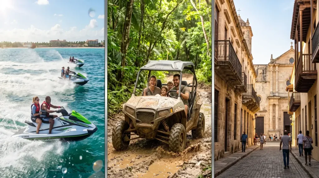
To get the best geographical perspective, Jet Ski Punta Cana puts you on top-tier Yamaha equipment right in the heart of the Bavaro riding zones. You set your own pace. You skip across the protected Caribbean flats, taking in miles of palm-lined resorts in a single afternoon. If you are building an unforgettable 2027 itinerary, booking a shoreline ride isn't optional. It is mandatory.

Bavaro is also ground zero for everything else happening on the water. The shallow coral heads near the reef are perfect for quick, vibrant snorkeling drops. This specific stretch of water is also where the absolute best catamaran rental Punta Cana outfits operate. Whether you jump on a giant party boat with an open bar or throw down cash for a private catamaran Punta Cana to take your family cruising down the coast in total privacy, all the critical marine infrastructure lives right here in Bavaro.

The Dominican Republic is a very big country. Doing a day trip means hitting the open highway. Knowing your exact drive times will save your itinerary.
| Destination | Driving Time from Punta Cana | Transportation Notes |
| Santo Domingo (Capital) | ~2.5 Hours | Straight shot down the modern Coral Highway. Perfect for checking out the oldest colonial city in the Americas. |
| La Romana & Bayahibe | ~1 Hour | Fast, well-paved highway drive heading southwest. |
| Saona Island | 1 Hour Drive + 45 Min Boat | You have to drive to the Bayahibe port first, then jump on a speedboat or catamaran. |
| Catalina Island | 1 Hour Drive + 30 Min Boat | Drive down to the La Romana port area, then take a boat across the deep water channel. |
| Puerto Plata | ~5.5 to 6 Hours | Way up on the far north coast. Skip it unless you are doing a multi-day cross-country road trip. |
Thinking about history and culture? Heading to Santo Domingo makes for an amazing day trip. If marine biology and national parks are your thing, point your rental car toward La Romana. A huge percentage of tourists obsess over visiting Saona Island. But since it takes a drive and a boat ride to get there, you really need to read up on whether the full-day transit is Saona Island worth it before burning a whole day of your vacation on logistics.
Access is everything in travel. This coast dominates Caribbean tourism because the local infrastructure is obsessed with getting you off the plane and onto the sand as fast as humanly possible.
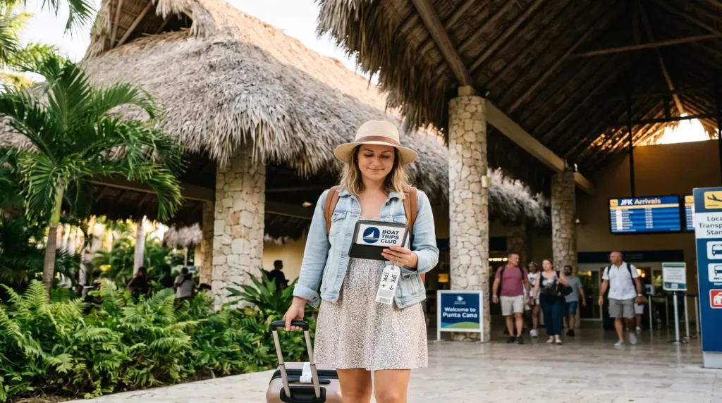
Almost everyone lands at Punta Cana International Airport (PUJ). Known for its iconic thatched roofs, it is privately owned, beautifully maintained, and wildly efficient. It is also the busiest airport in the Caribbean. Geographically, it sits in a genius location. You are looking at a quick 15 to 25-minute drive to almost every major resort in the Bavaro area. No brutal two-hour bus rides after a long flight.
The route network here is incredibly aggressive. You can fly direct from Miami in about two and a half hours. New York? Under four hours. Toronto takes roughly four and a half. Europe gets massive love too, with giant jets flying direct from London, Frankfurt, and Madrid every single day.
Paper customs forms are dead. Today, every single traveler needs to fill out the digital entry portal. You absolutely must have the mandatory Dominican Republic E-Ticket completed before you fly. It costs nothing. You fill it out online, get a digital QR code, and flash it to the border agents when you land. Do it early so you aren't fighting with spotty airport Wi-Fi on arrival.
Walking out of customs into the tropical heat is chaotic. You will see a massive line of standard taxis and shouting drivers. Skip them. The smartest move is locking in professional Punta Cana airport transfers before you leave home. A private SUV or air-conditioned shuttle will be waiting with your name on a sign. You bypass the hustle, crank the AC, and head straight up the highway to the lobby.
Need a quick geographical cheat sheet for hotels? Here is how the heavy hitters map out across the different coastal zones.
Located down south right by the tarmac. Super quiet, deeply lush, and highly exclusive.
The main hub. Stay here for walkability, perfect beaches, and instant access to the water.
The elite southern bubble. Zero crowds, total tranquility.
The geography inland is just as wild as the coast. We are talking thick, untamed jungles, hidden limestone sinkholes (cenotes), and rough dirt trails completely covered in mud.
If you get bored of sitting on the beach, digging into the best things to do in Punta Cana opens up a massive backyard of off-road chaos. Locals love combination tours. Booking buggy and jet ski packages lets you wreck a dune buggy in the jungle mud all morning, pass through local villages, and then wash the dirt off in the Caribbean Sea that afternoon. It is the ultimate way to cover maximum geographic ground in one day.
Punta Cana isn't just a dot on a map. It is a massive, thriving coastal ecosystem. It is the exact battleground where the Atlantic crashes into the Caribbean. Knowing the layout—from the ultra-rich, quiet bubble of Cap Cana up to the non-stop, high-octane energy of Bavaro—guarantees you book exactly the kind of trip you want.
Now you know the geography. Go experience it. Don't just stare at the water from your hotel balcony. Get out there. Feel the trade winds. Run the coastline. Grab a jet ski and aqua kart combo and make sure your 2027 vacation actually delivers some real adrenaline on the absolute best beaches in the Dominican Republic.
Punta Cana is located in the Dominican Republic. It sits on the far eastern coast of the island of Hispaniola. It is nowhere near Mexico, sharing absolutely no borders with it.
It officially belongs to North America. Specifically, it is anchored in the Caribbean archipelago, a massive chain of islands located southeast of the United States mainland.
It is exactly where the two meet. Resorts in the southern zones (Bavaro, Cap Cana) sit on the calm Caribbean Sea. Resorts in the northern zones (Uvero Alto) face the much rougher waters of the Atlantic Ocean.
It is roughly 1,000 miles southeast of Miami, Florida. Logistically, that translates to a very quick, 2.5-hour direct flight from the southern United States.
No. Haiti shares the same island, but the border is a grueling, multi-hour drive to the west. Puerto Rico sits to the east, but at over 150 miles across the Mona Passage, the earth's curvature makes it physically impossible to spot with the naked eye.
We have a total of 8 jet skis, perfect for up to 14 participants.
Tour duration is approximately 4 hours and includes round-trip hotel transportation.
Available from Wednesday to Sunday, with departures at 9:00 AM and 2:00 PM.
Pick-up times may vary depending on your hotel location, typically 1 hour before the activity starts.